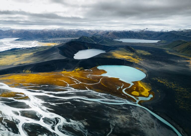
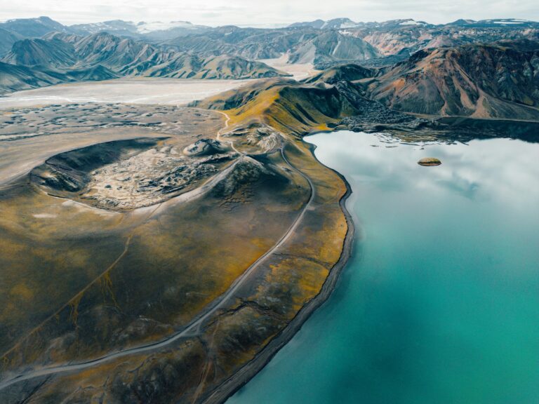
A sheltered valley of birch woods and glacial rivers between three glaciers, reached by a rough 4x4 track with unbridged rivers.
From Reykjavík, take Route 1 east. Just after the bridge over Markarfljót, near Seljalandsfoss, turn onto Road 249. The road becomes the mountain track F249, about 30 km in all from Route 1 to Básar. It passes Gígjökull and the turn for Stakkholtsgjá on the way. F249 ends at Básar, on the south side of Krossá. To reach Langidalur or Húsadalur by vehicle you also have to cross Krossá itself.
Only 4×4 vehicles may drive on F-roads. F249 has several unbridged glacial rivers, including Steinsholtsá and Hvanná, and Krossá is the last and most dangerous. The crossing points and depth change all the time, and heavy rain can make the rivers impassable within hours. Safetravel states that no insurance covers damage to a vehicle while crossing a river, and many rental contracts do not allow F249 at all. Rescue teams pull cars out of these rivers most summers. In 2018 a visitor drowned in Steinsholtsá after the couple’s vehicle got stuck.
In summer, a movable footbridge crosses Krossá between Básar and Langidalur, so walkers can go between the huts. Do not wade Krossá. Scheduled highland buses run in summer only, roughly from June to mid-September, and stop at Básar, Langidalur and Húsadalur.
No parking fee was found for Þórsmörk, and it is not listed on Parka or Check-it. Day visitors who use the toilets or grills at the huts pay a facility fee, 700 ISK at the Ferðafélag Íslands hut in Langidalur on its 2025–2026 price list. Check umferdin.is, safetravel.is and vedur.is before you go, or call the road information line 1777.
Without a suitable 4×4 and river-crossing experience, the easiest way to visit is a private Super Jeep tour from Reykjavík with hotel pickup. Varen’s private Þórsmörk Super Jeep tour takes about 10 hours for up to 5 guests and runs from mid-June to the end of September. It stops at Seljalandsfoss and Gljúfrabúi, follows the F249 track and its river crossings, and visits Gígjökull, Stakkholtsgjá, Básar and Þórsmörk.
Our tips, live road conditions and offline maps on your phone. Leave your email and we will tell you when it launches.
We use cookies to improve your experience on our site. By using our site, you consent to cookies.
Manage your cookie preferences below:
Essential cookies enable basic functions and are necessary for the proper function of the website.
Our booking engine. Required to display availability, prices and to complete a reservation.
Service URL: www.bokun.io (opens in a new window)
Live chat. Lets you talk to our team and keeps your conversation history between pages.
Service URL: chatway.app (opens in a new window)
Spam protection for our contact form. Distinguishes human visitors from automated bots.
Service URL: policies.google.com (opens in a new window)
Tag management system. Loads and controls the other scripts on this website according to your consent choices.
Service URL: policies.google.com (opens in a new window)
Statistics cookies collect information anonymously. This information helps us understand how visitors use our website.
Website analytics. Collects information about how visitors use our site so we can improve it.
Service URL: policies.google.com (opens in a new window)
Session analytics. Records anonymised interactions such as scrolling and clicks to help us understand how pages are used.
Service URL: privacy.microsoft.com (opens in a new window)
Marketing cookies are used to follow visitors to websites. The intention is to show ads that are relevant and engaging to the individual user.
Google's advertising platform. Used to measure the effectiveness of our ads and attribute bookings to the campaigns that generated them.
Service URL: policies.google.com (opens in a new window)
Facebook and Instagram advertising pixel. Used to measure ad performance and show relevant ads to people who visited our website.
Service URL: www.facebook.com (opens in a new window)
You can find more information in our Cookie Policy and .